Geological Survey of Norway |
|
NOR NGU Superficial deposits - best of
| Service health Now: |
|---|
- Interface
- Web Service, OGC Web Map Service 1.1.1
- Keywords
- Superficial deposits, Løsmasser
- Fees
- none
- Access constraints
- Copyright Geological Survey of Norway 2008
- Data provider
-
Geological Survey of Norway (unverified)
Contact information:
Sverre Iversen
Geological Survey of Norway
Postal address:
-, 7491 Trondheim, Norway
Ads by Google
Superficial deposits in various mapscales - best of / Løsmasser i ulike målestokker - beste
Available map layers (7)
NOR NGU Superficial deposits - best of (NOR_NGU_Superficial_deposits_OWS)
Superficial deposits in various mapscales - best of / Løsmasser i ulike målestokker - beste
Superficial deposits (english) (NOR_NGU_SD_EN)
Superficial deposits (english)
NOR NGU 1:1M Superficial deposit polygon (english) (NOR_NGU_1M_SDP)
The superficial deposit polygons have been compiled, generalised and harmonised from all available quaternary maps published by the Geological Survey of Norway. The superficial deposits are classified according to their genesis and thickness. In unmapped areas the deposits have been interpreted from aerial photos in combination with field controls. Due to variation of quality and scales of different mapping eras, the level of accuracy in the resulting dataset is variable.
NOR NGU 1:1M Superficial deposit landform (english) (NOR_NGU_1M_SDF)
The superficial deposit landforms have been compiled, generalised and harmonised from all available quaternary maps published by the Geological Survey of Norway. In unmapped areas the deposits have been interpreted from aerial photos in combination with field controls. Due to variation of quality and scales of different mapping eras, the level of accuracy in the resulting dataset is variable. The landforms currently included in the map are eskers and marginal moraines.
Superficial deposit polygon - best of (english) (NOR_NGU_SDP)
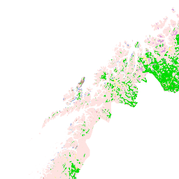
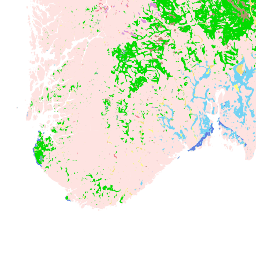
The superficial deposit (best of) is a database representing a full coverage of the superficial deposits in Norway. High resolution data (scale 1:20K to 1:50K) exists only in app. 30% of the country, mostly in areas where superficial deposits have significant economical importance. The deposits are classified according to their genesis and thickness. For most of the data (data in a larger scale than 1:250000) derived information such as groundwater potential and infiltration capacity has been developed as attributes and showed in different thematic layers of the WMS service.
Superficial deposits - infiltration capacity (english) (NOR_NGU_SDI)
The ability of the superficial deposits to filter and cleanse effluent can in broad terms be classified on the basis of the type of superficial deposit. The grain size distribution and permeability of the superficial deposit, as well as depth and terrain conditions, indicate good infiltration capability. This derived theme about infiltration capacity gives an overview of the possibilities that are at hand for solving the self-imposed treatment of effluent with the aid of infiltration into the superficial deposits.
Superficial deposits - potential for groundwater (english) (NOR_NGU_SDG)
The superficial deposits in Norway also contain the most important groundwater recourses in the country. On the basis of knowledge of the type of superficial deposit, you can say something about the potential of the superficial deposits to contain groundwater resources. The initial automatic classification based on the type of superficial deposit is followed by the geologist adjusting this on the basis of detailed information available on the area (varying grain size, thickness, stratigraphy and location relative to rivers and lakes, etc.). A possible occurrence will have to be proved by test drilling to obtain information on capacity and quality.
There are currently no notifications for the service, click the feed icon to subscribe.