Arizona Geological Survey |
|
aasggeothermal_NMPhysicalSamples
http://services.azgs.az.gov/arcgis/services/aasggeothermal/NMPhysicalSamples/MapServer/WmsServer


| Service health Now: |
|---|
- Interface
- Web Service, OGC Web Map Service 1.3.0
- Keywords
- hand samples, volcanic, geothermal, New Mexico Geochronological Database, New Mexico
- Fees
- none
- Access constraints
- unknown
- Supported languages
- No INSPIRE Extended Capabilities (including service language support) given. See INSPIRE Technical Guidance - View Services for more information.
- Data provider
-
Arizona Geological Survey (unverified)
Contact information:
Geoinformatics
Arizona Geological Survey
Postal:
416 W. Congress St., Suite 100, 85701 Tucson, USEmail:
Phone: 520-770-3500
- Service metadata
- No INSPIRE Extended Capabilities (including service metadata) given. See INSPIRE Technical Guidance - View Services for more information.
Ads by Google
PhysicalSamples in the state of New Mexico
Available map layers (1)
PhysicalSample (PhysicalSample)
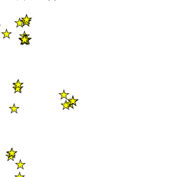
This layer contains data describing physical samples collected/analyzed in the state of New Mexico and obtained by the AASG for the Geothermal Data Project. The data table includes general information on the location of the sampling site, geologic setting, date collected, and latitude/longitude. Citations are included in the dataset. The SamplingFeatureURI is the cross-referencing link (foreign key) used to associate the sampling feature with additional data (observations, logs, reports) specific to the feature. The data is displayed using a yellow star with black outline. Layer files containing specifications for the symbology for these data layers can be viewed or downloaded from the USGIN Repository at http://repository.usgin.org/uri_gin/usgin/dlio/206. Downloadable files of this dataset can be found at http://repository.stategeothermaldata.org/repository/resource/b11baabdb451ae7c5c51c9bce909814b/.
There are currently no notifications for the service, click the feed icon to subscribe.