Senatsverwaltung für Stadtentwicklung … |
|
Digitale farbige Orthophotos 2010 (DOP20RGB)
http://fbinter.stadt-berlin.de/fb/wms/senstadt/k_luftbild2010_rgb


| Service health Now: |
|---|
- Interface
- Web Service, OGC Web Map Service 1.1.1
- Keywords
- infoMapAccessService, inspireidentifiziert, open data, opendata, AdVMIS, RGB, Orthophotomosaike, Karten, Geodaten, Berlin, DOP, Luftbilder, Color-Infrarot, Bildflug, Topographie, Topografie, topographisch, topografisch
- Fees
- Nutzungsbedingungen: Für die Verwendung der Daten gelten folgende Nutzungsbestimmungen: http://www.stadtentwicklung.berlin.de/geoinformation/download/nutzIII.pdf - Der Quellenvermerk gemäß §2 lautet "Geoportal Berlin / [Titel des Datensatzes]".
- Access constraints
- Es gelten keine Bedingungen
- Data provider
-
Senatsverwaltung für Stadtentwicklung und Wohnen Berlin (unverified)
Contact information:
Senatsverwaltung für Stadtentwicklung und Wohnen Berlin
postal:
GermanyEmail:
Phone: +49-30-90139-5257
Ads by Google
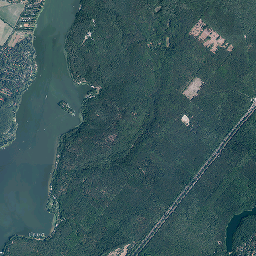
Digitale farbige Orthophotos 2010 (RGB-DOPs) für das gesamte Berliner Stadtgebiet, Bodenauflösung 0,20 Meter.
Available map layers (1)
Luftbilder 2010 (Orthophotos) (0)
Luftbilder 2010 (Orthophotos)
There are currently no notifications for the service, click the feed icon to subscribe.