Administration du Cadastre et de la To… |
|
INSPIRE View Service
http://wsinspire.geoportail.lu/arcgis/rest/services/inspire/au/MapServer/exts/InspireView/service

| Service health Now: |
|---|
- Interface
- Web Service, OGC Web Map Service 1.3.0
- Keywords
- WMS, INSPIRE, ViewService, infoMapAccessService, Administrative units
- Fees
- no conditions apply
- Access constraints
- None
- Supported languages
- eng , fre , ger
- Data provider
-
Administration du Cadastre et de la Topographie (unverified)
Contact information:
Francis Kaell
Administration du Cadastre et de la Topographie
postal:
54 avenue Gaston Diderich, 1420 Luxembourg, LuxembourgEmail:
Phone: +352 44 901 244
- Service metadata
Ads by Google
This service provides INSPIRE Data.
Available map layers (4)
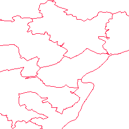
Administrative boundary (AU.AdministrativeBoundary)
Layer Administrative boundary
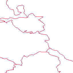
Administrative unit (AU.AdministrativeUnit)
Layer Administrative unit
Condominium (AU.Condominium)
Layer Condominium
NUTS Region (AU.NUTSRegion)
Layer NUTS Region
There are currently no notifications for the service, click the feed icon to subscribe.