[unknown data provider] |
|
Plan d'occupation du sol et Plan Local d'Urbanisme 971 DEAL_Guadeloupe
http://mapserveur.application.developpement-durable.gouv.fr/map/mapserv
| Service health Now: |
|---|
- Interface
- Web Service, OGC Web Map Service 1.1.1
- Keywords
- Fees
- unknown
- Access constraints
- unknown
- Data provider
-
unknown (unverified)
Contact information:
Ads by Google
Serveur WMS pour la carte Plan d'occupation du sol et Plan Local d'Urbanisme 971 DEAL_Guadeloupe
Available map layers (7)
Plan d'occupation du sol et Plan Local d'Urbanisme 971 DEAL_Guadeloupe (Plan d'occupation du sol et Plan Local d'Urbanisme 971)
Serveur WMS pour la carte Plan d'occupation du sol et Plan Local d'Urbanisme 971 DEAL_Guadeloupe
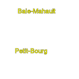
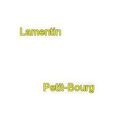
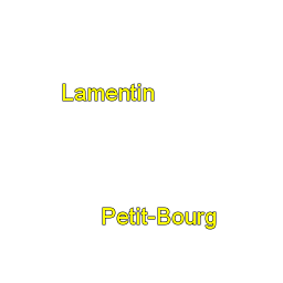
Nom communes (c_N_COMMUNE_BDP_971_Etiquettes)
Limites de communes (c_N_COMMUNE_BDP_971)
Nom de parcelle (c_N_PARCELLE_BDP_971_Etiquettes)
Limites de parcelles (c_N_PARCELLE_BDP_971)
Nom Zonage POS (c_971_POS_PLU_2013_Etiquettes)
Zonage POS (c_971_POS_PLU_2013_Valeurs_LIBELLE)
There are currently no notifications for the service, click the feed icon to subscribe.