Landesbetrieb Wald und Holz NRW |
|

| Service health Now: |
|---|
- Interface
- Web Service, OGC Web Map Service 1.3.0
- Keywords
- Wald, Forst, Schutzgebiete, Wuchsgebiete, Waldstandort, Kyrill, Schadflaechen, SchadflaechenKyrill, ForstlicheWuchsbezirkeNRW, Waldstandortkarte, WaldtypenNRW, WaldtypenNRWReal, WaldtypenNRWVoll, Waldfunktionskarte
- Fees
- unknown
- Access constraints
- none
- Supported languages
- No INSPIRE Extended Capabilities (including service language support) given. See INSPIRE Technical Guidance - View Services for more information.
- Data provider
-
Landesbetrieb Wald und Holz NRW (unverified)
Contact information:
Dr. Stefan Franz
Landesbetrieb Wald und Holz NRW
postal:
Albrecht-Thaer-Str. 34, 48147 Münster, GermanyEmail:
Phone: ++49 251 91797-333
- Service metadata
- No INSPIRE Extended Capabilities (including service metadata) given. See INSPIRE Technical Guidance - View Services for more information.
Ads by Google
WMS-Dienst Wald NRW mit Waldfunktions-, Waldtypen-, und Waldstandortkarte, Wuchsgebiete u.-bezirke, Kyrill-Schadflächen
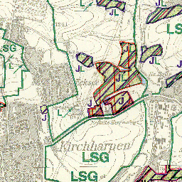
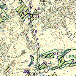
Available map layers (10)
WaldNRW (WaldNRW)
WMS-Dienst Wald NRW mit Waldfunktions-, Waldtypen-, und Waldstandortkarte, Wuchsgebiete u.-bezirke, Kyrill-Schadflächen
Waldfunktionskarte (1:10000 - 1:80000) (Waldfunktionskarte)
Waldtypen NRW Voll (1:50000 - 1:250000) (WaldtypenNRWVoll(1:50000-1:250000))
Waldtypen NRW Real (1:50000 - 1:250000) (WaldtypenNRWReal(1:50000-1:250000))
Waldtypen NRW (1:50000 - 1:500000) (WaldtypenNRW(1:50000-1:500000))
Waldstandortkarte (1:5000 - 1:15000) (Waldstandortkarte(1:5000-1:15000))
Forstliche Wuchsgebiete NRW (ForstlicheWuchsgebieteNRW)
Forstliche Wuchsbezirke NRW (ForstlicheWuchsbezirkeNRW)
Schadflaechen Kyrill (SchadflaechenKyrill)
Forstamtsgrenzen (Forstamtsgrenzen)
There are currently no notifications for the service, click the feed icon to subscribe.