Food and Agriculture Organization of t… |
|
Geoserver WMS - GeoIntersections
| Service health Now: |
|---|
- Interface
- Web Service, OGC Web Map Service 1.3.0
- Keywords
- WMS, GEOSERVER, FIGIS, Fisheries, intersections
- Fees
- NONE
- Access constraints
- NONE
- Supported languages
- No INSPIRE Extended Capabilities (including service language support) given. See INSPIRE Technical Guidance - View Services for more information.
- Data provider
-
Food and Agriculture Organization of the United Nations - Fishery and Aquaculture Department (unverified)
Contact information:
FIGIS Focal point
Food and Agriculture Organization of the United Nations - Fishery and Aquaculture Department
Postal address:
Viale delle Terme di Caracalla, 00153 Roma, ItalyEmail:
- Service metadata
- No INSPIRE Extended Capabilities (including service metadata) given. See INSPIRE Technical Guidance - View Services for more information.
Ads by Google
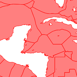
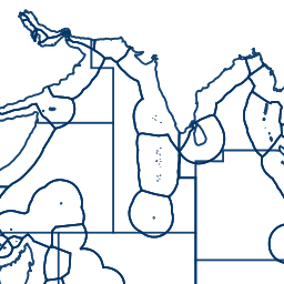
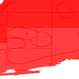
This GeoServer WMS provides a set of Geospatial intersections layers
Available map layers (2)
FAO_AREAS_x_EEZ_HIGHSEAS (FAO_AREAS_x_EEZ_HIGHSEAS)
GRID_G5_x_EEZ_HIGHSEAS (GRID_G5_x_EEZ_HIGHSEAS)
There are currently no notifications for the service, click the feed icon to subscribe.