Scottish Government |
|
Scottish Government Land Cover OGC-WMS View Service
http://sedsh127.sedsh.gov.uk/arcgis/services/ScotGov/LandCover/MapServer/WmsServer
| Service health Now: |
|---|
- Interface
- Web Service, OGC Web Map Service 1.3.0
- Keywords
- Land cover
- Fees
- None
- Access constraints
- No limitations on public access
- Supported languages
- No INSPIRE Extended Capabilities (including service language support) given. See INSPIRE Technical Guidance - View Services for more information.
- Data provider
-
Scottish Government (unverified)
Contact information:
Geographic Information Science and Analysis Team (GI-SAT)
Scottish Government
Postal:
Victoria Quay, EH6 6QQ Edinburgh, United KingdomEmail:
- Service metadata
- No INSPIRE Extended Capabilities (including service metadata) given. See INSPIRE Technical Guidance - View Services for more information.
Ads by Google
Spatial data relating to the Land Cover theme published by the Scottish Government
Available map layers (2)
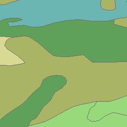
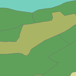
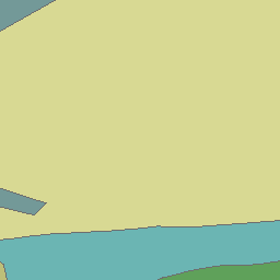
Special Areas of Hill Land (Special Areas of Hill Land)
This dataset was created as part of a piece of casework. The areas the boundaries show relate to specially identified areas for hill farming.
Land Cover Scotland 1988 (Land Cover Scotland 1988)
Land Cover Scotland (LCS) 1988 was the first ever national (air-photo) census of land cover in Scotland to describe the principal features and characteristics of the countryside. It was produced by The Macaulay Land Use Research Institute (now the James Hutton Institute) on behalf of Scottish Government to assist in the development and monitoring of policies affecting the state of the Scottish countryside. It was intended that the 1988 LCS be used as a baseline for monitoring change. The classification system allows for 126 land cover types to be identified as point, line or area features. An important aspect of the classification system is that it allows for mosaics of the land cover types to be identified, where the pattern of cover types was so complex that individual types could not, at the selected interpretation scale, be separated. Over 1300 mosaics are identified in the LCS dataset.
There are currently no notifications for the service, click the feed icon to subscribe.