Landesamt für Vermessung und Geoinform… |
|
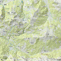
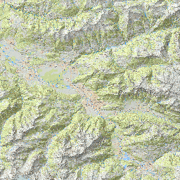
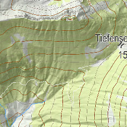
Topographische Karten
| Service health Now: |
|---|
- Interface
- Web Service, OGC Web Map Service 1.3.0
- Keywords
- Fees
- none
- Access constraints
- unknown
- Supported languages
- No INSPIRE Extended Capabilities (including service language support) given. See INSPIRE Technical Guidance - View Services for more information.
- Data provider
-
Landesamt für Vermessung und Geoinformation Vorarlberg (unverified)
Contact information:
N.N.
Landesamt für Vermessung und Geoinformation Vorarlberg
postal:
Johannitergasse 6, A-6800 Feldkirch, ATEmail:
Phone: +43 (0)5522 75482
- Service metadata
- No INSPIRE Extended Capabilities (including service metadata) given. See INSPIRE Technical Guidance - View Services for more information.
Ads by Google
Geodaten des Bundeslandes Vorarlberg als OGC-WMS
Available map layers (10)
Topographische Karten (MS)
Geodaten des Bundeslandes Vorarlberg als OGC-WMS
Topographische Karte Isoli_Text 1:20.000 (topokarte_isoli_text_20t)
Topographische Karte Isoli_Text Winter 1:20.000 (topokarte_winter_isoli_text_20t)
Topographische Karte 1:20.000 (topokarte_20t)
Topographische Karte Winter 1:20.000 (topokarte_winter_20t)
Topographische Karte Symbole (topo_symbole)
Topographische Karte Texte (topo_texte)
Topographische Karte Text Fluesse (topo_text_fluesse)
Topographische Karte Linien (topo_linien)
Topographische Karte Textlinien (topo_textlinien)
There are currently no notifications for the service, click the feed icon to subscribe.