Stadt Frankfurt (Oder), Kataster- und … |
|
Stadtkarte Frankfurt (Oder) - (WMS-DSK-TOPOGRAFIE)
http://geoportal.frankfurt-oder.de/wss/service/WMS_Stadtkarte_Topo/guest

| Service health Now: |
|---|
- Interface
- Web Service, OGC Web Map Service 1.3.0
- Keywords
- Fees
- none
- Access constraints
- Nutzungsbedingungen beachten. (https://www.frankfurt-oder.de/B%C3%BCrger/Verwaltung-Politik/Geoportal/Nutzungsbedingungen)
- Supported languages
- No INSPIRE Extended Capabilities (including service language support) given. See INSPIRE Technical Guidance - View Services for more information.
- Data provider
-
Stadt Frankfurt (Oder), Kataster- und Vermessungsamt (unverified)
Contact information:
Steffen Richter
Stadt Frankfurt (Oder), Kataster- und Vermessungsamt
Goepelstraße 38, 15234 Frankfurt (Oder), Deutschland
Email:
Phone: 0335 552-6203
- Service metadata
- No INSPIRE Extended Capabilities (including service metadata) given. See INSPIRE Technical Guidance - View Services for more information.
Ads by Google
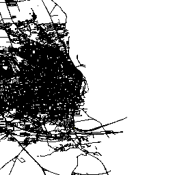
Der WMS Topografie beinhaltet u.a. Mauern, Zäune, Spundwände, Pflasterarten und umfangreiche Punktinformationen wie z.B. Infotafeln, Ampeln, Verkehrszeichen, Brunnen, Haltestellen usw.
Available map layers (4)
SK_Topographie_F (SK_Topographie_F)
SK_Topographie_L (SK_Topographie_L)
SK_Topographie_P (SK_Topographie_P)
SK_Topographie_T (SK_Topographie_T)
There are currently no notifications for the service, click the feed icon to subscribe.