Cartográfica de Canarias S.A. (GRAFCAN) |
|
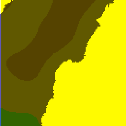
IDECanarias Riesgo de inundaciones


| Service health Now: |
|---|
- Interface
- Web Service, OGC Web Map Service 1.3.0
- Keywords
- WMS, HIDRAULICO, PRECIPITACION, INUNDACION, PELIGROSIDAD, VULNERABILIDAD, RIESGO, CANARIAS, GRAFCAN, CANARY, ISLANDS
- Fees
- none
- Access constraints
- Acceso libre. Prohibido el uso comercial y la descarga masiva de información.
- Supported languages
- No INSPIRE Extended Capabilities (including service language support) given. See INSPIRE Technical Guidance - View Services for more information.
- Data provider
-
Cartográfica de Canarias S.A. (GRAFCAN) (unverified)
Contact information:
Cartográfica de Canarias S.A. (GRAFCAN)
Email:
- Service metadata
- No INSPIRE Extended Capabilities (including service metadata) given. See INSPIRE Technical Guidance - View Services for more information.
Riesgo de inundaciones
Available map layers (11)
IDECanarias Riesgo de inundaciones (WMS_RINUNDACION)
Riesgo de inundaciones
Inundaciones infraestructuras hidráulicas (Inundaciones infraestructuras hidráulicas)
Presas y balsas (PRESAS_BALSAS)
Inundaciones costeras (Inundaciones costeras)
Zona Inundable CosterasPR500 (COSTEROS_500)
Zona Inundable CosterasPR100 (COSTEROS_100)
Inundaciones pluviales (Inundaciones pluviales)
Zona Inundable PluvialesPR500 (PLUVIALES_500)
Zona Inundable PluvialesPR100 (PLUVIALES_100)
Zonas Inundables Costeros-Pluviales (ARPSIS_2C_3C_PBC)
Riesgo Municipal de Inundaciones (RIESGO_IN)