http://demo.opengeo.org/geoserver/gwc/… |
|
Web Map Tile Service - GeoWebCache

| Service health Now: |
|---|
- Interface
- Web Service, OGC Web Map Tiling Service WMTS_1.0.0
- Keywords
- Fees
- unknown
- Access constraints
- unknown
- Supported languages
- No INSPIRE Extended Capabilities (including service language support) given. See INSPIRE Technical Guidance - View Services for more information.
- Data provider
-
http://demo.opengeo.org/geoserver/gwc/service/wmts (unverified)
Contact information:
GeoWebCache User
http://demo.opengeo.org/geoserver/gwc/service/wmts
- Service metadata
- No INSPIRE Extended Capabilities (including service metadata) given. See INSPIRE Technical Guidance - View Services for more information.
Ads by Google
Available map layers (15)
wps4693812227741231645tiff1648145287719090274 (ne:wps4693812227741231645tiff1648145287719090274)
bluemarble (nasa:bluemarble)
USA Population (topp:states)
2000 census data for United States.
wps4623406955417507685tiff1569225987181868248 (ne:wps4623406955417507685tiff1569225987181868248)
roads (og:roads)
Natural Earth Base Map (ne:ne)
Base map composed of data from http://www.naturalearthdata.com.
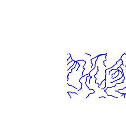
streams (og:streams)
wps5380428517378077718tiff6289779593078582304 (ne:wps5380428517378077718tiff6289779593078582304)
Natural Earth 1 (ne:NE1_HR_LC_SR_W_DR)
With Shaded Relief, Water, and Drainages. Coloring based on land cover.
parks (maps:parks)
Dark Base Map (maps:dark)
osm:osm (osm:osm)
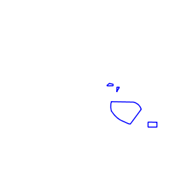
bugsites (og:bugsites)
restricted (og:restricted)
archsites (og:archsites)
There are currently no notifications for the service, click the feed icon to subscribe.