Landesanstalt für Landwirtschaft und G… |
|
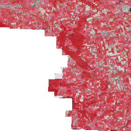
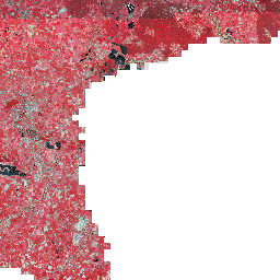
Digitale Orthophotos InVeKoS (DOP) Color-Infrarot und Echtfarben (WMS-Darstellungsdienst)
http://www.gfds.sachsen-anhalt.de/ows/ws/wms/f4bc7441-e2ce-d0a3/GDI-LSA_MLU_DOP/ows.wms

| Service health Now: |
|---|
- Interface
- Web Service, OGC Web Map Service 1.3.0
- Keywords
- Agrarpolitik, GDI-LSA, InVeKoS, Landwirtschaft, Orthophotos
- Fees
- unknown
- Access constraints
- keine
- Supported languages
- ger
- Data provider
-
Landesanstalt für Landwirtschaft und Gartenbau, Stabsstelle Informationstechnologie (unverified)
Contact information:
GIS-Admin
Landesanstalt für Landwirtschaft und Gartenbau, Stabsstelle Informationstechnologie
postal:
Leipziger Straße 58, 39112 Magdeburg, GermanyEmail:
Phone: +49 (0) 391 567 3254
- Service metadata
Ads by Google
Integriertes Verwaltungs- und Kontrollsystem (InVeKoS) - Digitale Orthophotos (DOP) Befliegung 2012/2013/2014 Colorinfrarot (CIR) und Echtfarben (RGB) - 100 cm
Available map layers (3)
Digitale Orthophotos InVeKoS (DOP) Color-Infrarot und Echtfarben (WMS-Darstellungsdienst) (lsa_mlu_invekos)
Integriertes Verwaltungs- und Kontrollsystem (InVeKoS) - Digitale Orthophotos (DOP) Befliegung 2012/2013/2014 Colorinfrarot (CIR) und Echtfarben (RGB) - 100 cm
DOP InVeKoS CIR - 100 cm (mlu_invekos09_cir)
Integriertes Verwaltungs- und Kontrollsystem (InVeKoS) - Digitale Orthophotos (DOP) Befliegung 2012/2013/2014 Colorinfrarot (CIR) - 100 cm
DOP InVeKoS RGB - 100 cm (mlu_invekos09_rgb)
Integriertes Verwaltungs- und Kontrollsystem (InVeKoS) - Digitale Orthophotos (DOP) Befliegung 2012/2013/2014 Echtfarben (RGB) - 100 cm
There are currently no notifications for the service, click the feed icon to subscribe.