Food and Agriculture Organization (FAO) |
|
FAO GeoNetwork OGC Web Map Server

| Service health Now: |
|---|
- Interface
- Web Service, OGC Web Map Service 1.1.1
- Keywords
- FAO, WMS, OGC, GeoNetwork
- Fees
- none
- Access constraints
- none
- Data provider
-
Food and Agriculture Organization (FAO) (unverified)
Contact information:
Jeroen Ticheler
Food and Agriculture Organization (FAO)
postal:
Viale delle Terme di Caracalla, 00153 Rome, ItalyEmail:
Phone: +39-06 57051
Ads by Google
Available map layers (2)
FAO GeoNetwork OGC Web Map Server (GNW)
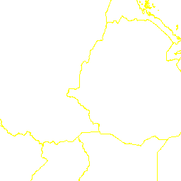
Sub-national boundaries of Africa (2000) - national level (national_boundaries_africa)
The map was created from various national and regional datasets by FAO-GIS in 1993 and updated for some countries in collaboration with the Global Information and Early Warning System on Food and Agriculture (FAO Group) in 1999. Among further amendments made by FAO-GIS from 1999 up to 2001, latest updates are: the coastline for South Africa which has been corrected according to VMap0; the Walvis Bay included into Namibia.
There are currently no notifications for the service, click the feed icon to subscribe.