Food and Agriculture Organization (FAO) |
|
FAO GeoNetwork OGC Web Map Server


| Service health Now: |
|---|
- Interface
- Web Service, OGC Web Map Service 1.1.1
- Keywords
- FAO, WMS, OGC, GeoNetwork
- Fees
- none
- Access constraints
- none
- Data provider
-
Food and Agriculture Organization (FAO) (unverified)
Contact information:
Jeroen Ticheler
Food and Agriculture Organization (FAO)
postal:
Viale delle Terme di Caracalla, 00153 Rome, ItalyEmail:
Phone: +39-06-57051
Ads by Google
Available map layers (2)
FAO GeoNetwork OGC Web Map Server (GNW)
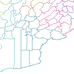
Sub-National Administrative Units of Afghanistan - second level (29 Provinces System) (afghan_second_level_29provinces)
First and second level sub-national administrative units of Afghanistan. Boundaries for 29 provinces of Afghanistan based on (USDMA, 1986) 1:100,000 scale map series U611.PROVINCE BORDERS AND DISTRICT (MCD) BORDER & CODES: Minor Civil Divisions (MCD) Map, for the ADS and the Ministry of Planning (Kabul, 1973). Province borders follow AID community, reporting standard and do not reflect recent changes. MCD boundaries are accurate to within 10 km.
There are currently no notifications for the service, click the feed icon to subscribe.