[unknown data provider] |
|
CHOPVT: Ocupación del suelo
http://cartoweb.cma.gva.es/arcgis/services/ocupacion_del_suelo/MapServer/WMSServer

| Service health Now: |
|---|
- Interface
- Web Service, OGC Web Map Service 1.3.0
- Keywords
- Fees
- unknown
- Access constraints
- SISTEMA DE INFORMACIÓN SOBRE OCUPACIÓN DEL SUELO EN LA COMUNITAT VALENCIANA: Cartografía sobre OCUPACIÓN DE SUELO, obtenida de la fotointerpretación del terreno mediante la ORTOIMAGEN captada por el SATÉLITE SPOT 2005 en el año 2005 y ORTOIMÁGENES captadas en 2009, completada por un estudio de campo del territorio
- Supported languages
- No INSPIRE Extended Capabilities (including service language support) given. See INSPIRE Technical Guidance - View Services for more information.
- Data provider
-
unknown (unverified)
Contact information:
- Service metadata
- No INSPIRE Extended Capabilities (including service metadata) given. See INSPIRE Technical Guidance - View Services for more information.
Ads by Google
Conselleria d'Habitatge, Obres Públiques i Vertebració del Territori, Generalitat Valenciana - Servicio WMS de Ocupación del suelo
Available map layers (5)
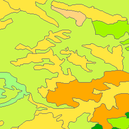
SIOSE 2005 (sios_siose2005)
SIOSE 2005
SIOSE 2005 fotos (sios_siose2005_fotos)
SIOSE 2005 fotos
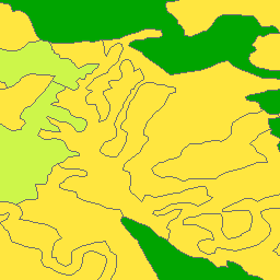
CORINE 1990 (cori_corine90)
CORINE 1990
CORINE 2000 (cori_corine2000)
CORINE 2000
CORINE 2006 (cori_corine2006)
CORINE 2006
There are currently no notifications for the service, click the feed icon to subscribe.