Food and Agriculture Organization (FAO) |
|
FAO GeoNetwork OGC Web Map Server


| Service health Now: |
|---|
- Interface
- Web Service, OGC Web Map Service 1.1.1
- Keywords
- FAO, WMS, OGC, GeoNetwork
- Fees
- none
- Access constraints
- none
- Data provider
-
Food and Agriculture Organization (FAO) (unverified)
Contact information:
Jeroen Ticheler
Food and Agriculture Organization (FAO)
postal:
Viale delle Terme di Caracalla, 00153 Rome, ItalyEmail:
Phone: +39-06 57051
Ads by Google
Available map layers (2)
FAO GeoNetwork OGC Web Map Server (GNW)
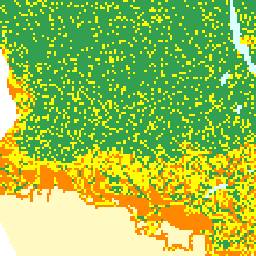
Water availability (water_availability)
Spatial distribution of water availability for fish ponds. Map derived from the combined suitability of annual rainfall with density of perennial streams and rivers. Annual rainfall interpreted as rainfall runoff to fill fishponds. Mean annual precipitation data for Africa were obtained from UNEP/GRID in Nairobi and was developed for the Global Assessment of Soil Degradation (GLASOD) using data from 1951-1980. A digital map of perennial streams and rivers was generated by ESRI (1984).
There are currently no notifications for the service, click the feed icon to subscribe.