Forsttechnischer Dienst für Wildbach- … |
|
GeoServer Web Map Service

| Service health Now: |
|---|
- Interface
- Web Service, OGC Web Map Service 1.3.0
- Keywords
- WMS
- Fees
- NONE
- Access constraints
- NONE
- Supported languages
- ger
- Data provider
-
Forsttechnischer Dienst für Wildbach- und Lawinenverbauung (unverified)
Contact information:
Stabstelle Geoinformation
Forsttechnischer Dienst für Wildbach- und Lawinenverbauung
[AddressType]:
[Address], [ZIP] [City], [Country]Email:
Phone: [Telephone]
- Service metadata
Ads by Google
A compliant implementation of WMS plus most of the SLD extension (dynamic styling). Can also generate PDF, SVG, KML, GeoRSS
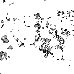
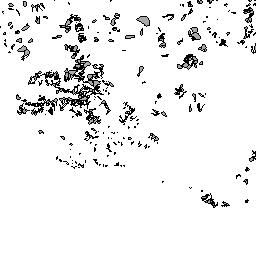
Available map layers (3)
WLV Gefahrenzonen (LFRZ:GZP_2017)
WLV Einzugsgebiete Lawine (LFRZ:LA_EZG_alle)
WLV Einzugsgebiete Wildbach (LFRZ:WB_EZG_alle)
There are currently no notifications for the service, click the feed icon to subscribe.