Scottish Natural Heritage |
|
SNH Landscape and Green Space WMS
http://mapgateway.snh.gov.uk/ServicesWMS/SNH_Landscape/MapServer/WMSServer

| Service health Now: |
|---|
- Interface
- Web Service, OGC Web Map Service 1.3.0
- Keywords
- WMS
- Fees
- NONE
- Access constraints
- Variable licencing, please consult individual dataset metadata documents
- Supported languages
- eng
- Data provider
-
Scottish Natural Heritage (unverified)
Contact information:
Scottish Natural Heritage
Work:
Great Glen House, Leachkin Road, IV3 8NW Inverness, United KingdomEmail:
Phone: +44 01463 725000
- Service metadata
Ads by Google
OGC compliant WMS server publishing datasets from Scottish Natural Heritage
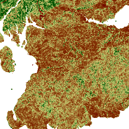
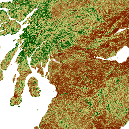
Available map layers (12)
Wildness - Ruggedness (0)
Challenging or rugged terrain
Wildness - Remoteness (1)
Remoteness from public roads or ferries
Wildness - Percieved Naturalness (2)
The perceived naturalness of the land cover
Wildness - Composite (3)
Relative wildness based on the four component layers
Wildness - Impact of modern artefacts (4)
The visible lack of buildings, roads, pylons and other modern artefacts
Landscape Character Assessment (5)
Loch Lomond and Trossachs NP LCA (6)
Natural Heritage Futures Zones (7)
Wild Land Areas 2014 (8)
The data contains boundaries of core wild land areas in Scotland as determined by their level of naturalness, remoteness, ruggedness and absence of modern artefacts. Boundaries should be considered as 'fuzzy' rather than definitive to reflect the transitional nature of wild land.
Cairngorms Geomorphology - Polygons (9)
Cairngorms Geomorphology - Lines (10)
Core Paths (11)
This dataset provides a snapshot of Core Paths across Scotland. It is not suitable for detailed analysis. The definitive Core Paths datasets are managed by the local authorities, see http://www.snh.gov.uk/enjoying-the-outdoors/where-to-go/routes-to-explore/local-path-networks/
There are currently no notifications for the service, click the feed icon to subscribe.