Thüringer Ministerium für Infrastruktu… |
|
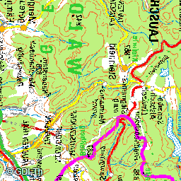
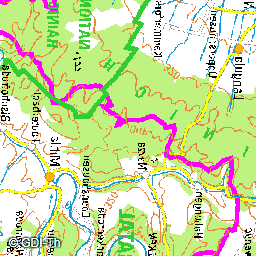
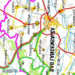
WMS TH UEK250 Color
http://www.geoproxy.geoportal-th.de/geoproxy/services/UEK250COL
| Service health Now: |
|---|
- Interface
- Web Service, OGC Web Map Service 1.3.0
- Keywords
- WMS_TH_UEK250_Color, open data, opendata, Geobasisdaten, Geoproxy, TH, GDI TH, Freistaat Thüringen, Thüringer Landesamt für Bodenmanagement und Geoinformation, AdV, AdV-OWS-Basisprofil 1.0, AdV-WMS-Profil 4.0.0, WMS, Darstellungsdienst, Digitale Topographische Karte, Übersichtskarte 1:250 000, Datengrundlage UEK250, farbig, view service, humanGeographicViewer, WMS
- Fees
- Dieses Angebot kann ab 2017-01-01 gemäß der "Datenlizenz Deutschland Namensnennung 2.0" (https://www.govdata.de/dl-de/by-2-0) genutzt werden. { "id": "dl-de-by-2.0", "name": "Datenlizenz Deutschland Namensnennung 2.0", "url": "https://www.govdata.de/dl-de/by-2-0 ", "quelle": "© GDI-Th" }
- Access constraints
- NONE. Es gelten keine Beschränkungen.
- Supported languages
- ger
- Data provider
-
Thüringer Ministerium für Infrastruktur und Landwirtschaft (unverified)
Contact information:
Kompetenzzentrum Geodateninfrastruktur Thüringen
Thüringer Ministerium für Infrastruktur und Landwirtschaft
postal:
Hohenwindenstr. 13 a, 99086 Erfurt, GermanyEmail:
Phone: +49 361 57-4176926
- Service metadata