[unknown data provider] |
|
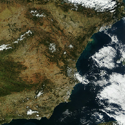
AragonFoto - Combinacion de ortofoto e imagen de satelite adecuada para cada escala

| Service health Now: |
|---|
- Interface
- Web Service, OGC Web Map Service 1.1.1
- Keywords
- ECW, JPEG 2000
- Fees
- none
- Access constraints
- none
- Data provider
-
unknown (unverified)
Contact information:
Ads by Google
Servidor de Imagenes. Sistema de Informacion Territorial de Aragon
Available map layers (3)
Ortoimagen satelite media-baja resolucion (MODIS 2009 250 m) visible 200_5000 (MODIS)
Ortoimagen satelite alta resolucion (SPOT 2009 2.5 m) visible 6.1_200 (SPOT)
Ortofoto reciente (PNOA 2015 0.5 m) visible 0.01_6.1 (ORTO_RECIENTE)
There are currently no notifications for the service, click the feed icon to subscribe.