lat/lon GmbH |
|
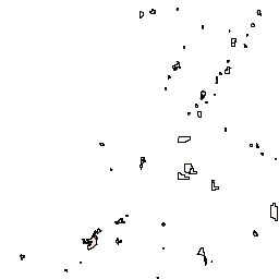
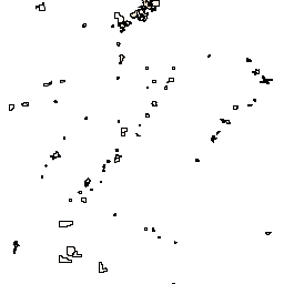
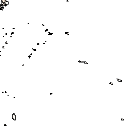
deegree 3 Utah Demo WMS
| Service health Now: |
|---|
- Interface
- Web Service, OGC Web Map Service 1.3.0
- Keywords
- Fees
- unknown
- Access constraints
- unknown
- Supported languages
- No INSPIRE Extended Capabilities (including service language support) given. See INSPIRE Technical Guidance - View Services for more information.
- Data provider
-
lat/lon GmbH (unverified)
Contact information:
Andreas Schmitz
lat/lon GmbH
postal:
Aennchenstr. 19, 53177 Bonn, GermanyEmail:
Phone: 0228/18496-0
- Service metadata
- No INSPIRE Extended Capabilities (including service metadata) given. See INSPIRE Technical Guidance - View Services for more information.
Ads by Google
WMS demonstration with Utah data
Available map layers (23)
Administration (administration)
Aerial image of the city of Saltlake City
Municipalities of Utah (municipalities)
This layer contains all municipalities of state Utah
Counties of Utah (counties)
County boundaries of Utah (countyboundaries)
County names of Utah (countynames)
Zip codes of Utah (zipcodes)
Stateboundary of Utah (stateboundary)
Orthophoto of Saltlake City (orthophoto)
Aerial image of the city of Saltlake City
Airports of Utah (airports)
This is the abstract
Railroads of Utah (railroads)
Roads of Utah (roads)
DEM 90m Raster of Utah (DEM90)
DEM 30m Raster of Utah (DEM30)
Elevation contours of Utah (elevationcontours)
Hydrology of Utah (Hydrology)
Rivers in Utah (rivers)
Lakes in Utah (lakes)
Groundwater in Utah (groundwater)
Springs in Utah (springs)
Weatherstations in Utah (weatherstations)
Dominant vegetation in Utah (dominantvegetation)
Energy resources of Utah (energyresources)
Cities of Utah (cities)
There are currently no notifications for the service, click the feed icon to subscribe.