U.S. Geological Survey Center for Inte… |
|
GeoServer Web Map Service
| Service health Now: |
|---|
- Interface
- Web Service, OGC Web Map Service 1.1.1
- Keywords
- WFS, WMS, GEOSERVER
- Fees
- NONE
- Access constraints
- NONE
- Data provider
-
U.S. Geological Survey Center for Integrated Data Analytics (unverified)
Contact information:
Jessica Lucido
U.S. Geological Survey Center for Integrated Data Analytics
Work:
8505 Research Way, 53562 Middleton, USAEmail:
Phone: 608.821.3841
A compliant implementation of WMS plus most of the SLD extension (dynamic styling). Can also generate PDF, SVG, KML, GeoRSS
Available map layers (8)
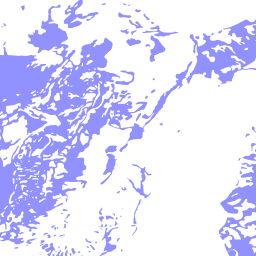
NAT_AQFR_ALLUV_GLACL_SPATIAL (NAT_AQFR_ALLUV_GLACL_SPATIAL)
VW_GWDP_GEOSERVER (VW_GWDP_GEOSERVER)
VW_IL_CONST (VW_IL_CONST)
VW_IL_LITH (VW_IL_LITH)
VW_IL_QW (VW_IL_QW)
VW_ISWS_WATER_LEVELS (VW_ISWS_WATER_LEVELS)
aquifrp025 (aquifrp025)
central_region_gw_models (central_region_gw_models)