Gateway Geomatics |
|
WMS Demo Server for MapServer


| Service health Now: |
|---|
- Interface
- Web Service, OGC Web Map Service 1.3.0
- Keywords
- Fees
- unknown
- Access constraints
- unknown
- Supported languages
- No INSPIRE Extended Capabilities (including service language support) given. See INSPIRE Technical Guidance - View Services for more information.
- Data provider
-
Gateway Geomatics (unverified)
Contact information:
Jeff McKenna
Gateway Geomatics
Email:
- Service metadata
- No INSPIRE Extended Capabilities (including service metadata) given. See INSPIRE Technical Guidance - View Services for more information.
Ads by Google
This demonstration server showcases MapServer (www.mapserver.org) and its OGC support
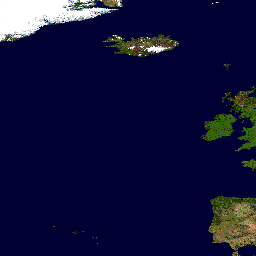
Available map layers (5)
WMS Demo Server for MapServer (WMS_server)
This demonstration server showcases MapServer (www.mapserver.org) and its OGC support
Blue Marble World Elevation and Bathymetry Raster (bluemarble)
World continents (continents)
World country boundaries (country_bounds)
World cities (cities)
There are currently no notifications for the service, click the feed icon to subscribe.