Ajuntament de Castellar del Vallès |
|
Servei WMS de Cartografia de Planejament Urbanístic de Castellar del Vallès
http://urbanet-castellar.absis.es/absatlas/absopengis/wms.ashx
| Service health Now: |
|---|
- Interface
- Web Service, OGC Web Map Service 1.1.1
- Keywords
- urbanismo, catastro, administración, local, callejero
- Fees
- none
- Access constraints
- none
- Data provider
-
Ajuntament de Castellar del Vallès (unverified)
Contact information:
Jaume Àvalos Tomàs
Ajuntament de Castellar del Vallès
POSTAL:
Passeig Tolrà,1, 08211 Castellar del Vallès, EspañaEmail:
Phone: (+34)937144040
Ads by Google
Servei de Publicació de Cartografia de l'Ajuntament de Castellar del Vallès. Accessible mitjançant el protocol WMS de OpenGIS.
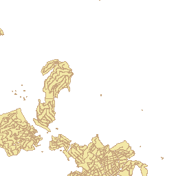
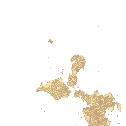
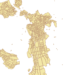
Available map layers (11)
Illes (B_MANZ)
Parcel·les (B_PARC)
Subparcel·les (B_SUBPAR)
Classificacions (E_UCLAS)
Qualificacions (E_UCALF)
Sectors (E_USECT)
Proteccions (E_UPRTS)
Elements catalogats (E_UCTLG)
Condicions edificació (E_UCNED)
Eixos de carrer (B_EJES)
Portals (B_NROPOL)
There are currently no notifications for the service, click the feed icon to subscribe.