NOAA/AOML-CoastWatch Caribbean-Gulf of… |
|
WMS for Synthetic temperature/salinity profiles for Hurricane Rita. Quality Flag = Preliminary
| Service health Now: |
|---|
- Interface
- Web Service, OGC Web Map Service 1.3.0
- Keywords
- Earth, science, oceans
- Fees
- NONE
- Access constraints
- NONE
- Supported languages
- No INSPIRE Extended Capabilities (including service language support) given. See INSPIRE Technical Guidance - View Services for more information.
- Data provider
-
NOAA/AOML-CoastWatch Caribbean-Gulf of Mexico Regional Node (unverified)
Contact information:
Joaquin A. Trinanes
NOAA/AOML-CoastWatch Caribbean-Gulf of Mexico Regional Node
postal:
4301 Rickenbacker Causeway, 33149 Miami, USAEmail:
Phone: 3053614450
- Service metadata
- No INSPIRE Extended Capabilities (including service metadata) given. See INSPIRE Technical Guidance - View Services for more information.
Ads by Google
Synthetic temperature/salinity profiles for Hurricane Rita. Quality Flag = Preliminary
Available map layers (7)
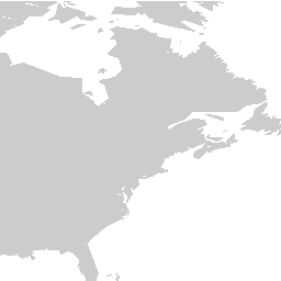
Land (Land)
Synthetic temperature/salinity profiles for Hurricane Rita. Quality Flag = Preliminary - temperature (IOOSTCHPRITA:temperature)
LandMask (LandMask)
Coastlines (Coastlines)
Lakes and Rivers (LakesAndRivers)
National Boundaries (Nations)
State Boundaries (States)
There are currently no notifications for the service, click the feed icon to subscribe.