Landesamt für Vermessung, Geoinformati… |
|
Landwirtschaft
| Service health Now: |
|---|
- Interface
- Web Service, OGC Web Map Service 1.1.1
- Keywords
- Fees
- none
- Access constraints
- Alle Nutzungsarten sind frei, aber grundsätzlich wird nicht auf das Urheberrecht verzichtet.
- Data provider
-
Landesamt für Vermessung, Geoinformation und Landentwicklung (unverified)
Contact information:
Geodatenzentrum
Landesamt für Vermessung, Geoinformation und Landentwicklung
postal:
Von der Heydt 22, 66115 Saarbrücken, DeutschlandEmail:
Phone: +49 (0)681 / 9712 - 03
Ads by Google
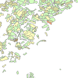
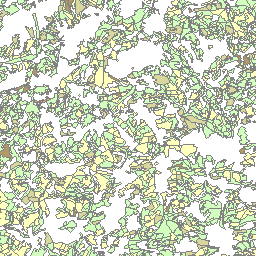
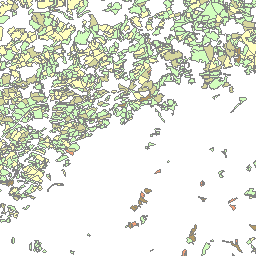
Der Kartendienst (WMS-Gruppe) stellt die digitalen Geodaten aus dem Bereich Landwirtschaft des Saarlandes bereit.
Available map layers (2)
Landwirtschaft (Landwirtschaft)
Der Kartendienst (WMS-Gruppe) stellt die digitalen Geodaten aus dem Bereich Landwirtschaft des Saarlandes bereit.
AEP 2001 Realnutzung landwirtschaftlicher Nutzflaeche LNF 1999 (Realnutzung landwirtschaftlicher Nutzflaeche -LN- 1999)
Agrarstruktureller Entwicklungsplan für das Saarland (AEP) - Realnutzung landwirtschaftlicher Nutzfläche LNF 1999
There are currently no notifications for the service, click the feed icon to subscribe.