Landesamt für Vermessung, Geoinformati… |
|
Forstwirtschaft

| Service health Now: |
|---|
- Interface
- Web Service, OGC Web Map Service 1.1.1
- Keywords
- Fees
- none
- Access constraints
- Alle Nutzungsarten sind frei, aber grundsätzlich wird nicht auf das Urheberrecht verzichtet.
- Data provider
-
Landesamt für Vermessung, Geoinformation und Landentwicklung (unverified)
Contact information:
Geodatenzentrum
Landesamt für Vermessung, Geoinformation und Landentwicklung
postal:
Von der Heydt 22, 66115 Saarbrücken, DeutschlandEmail:
Phone: +49 (0)681 / 9712 - 03
Ads by Google
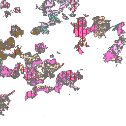
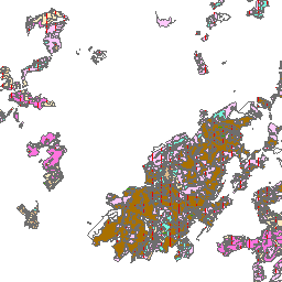
Der Kartendienst (WMS-Gruppe) stellt die digitalen Geodaten aus dem Bereich Forstwirtschaft des Saarlandes dar (Quelle: SaarForst Landesbetrieb).
Available map layers (2)
Forstwirtschaft (Forstwirtschaft)
Der Kartendienst (WMS-Gruppe) stellt die digitalen Geodaten aus dem Bereich Forstwirtschaft des Saarlandes dar.
Standortskarte_Staatswald (Standortskarte_Staatsw)
Standortskatierung im Staatswald: LFNR: 1 usw. STAO_NR Nr.: des Standorttyps Digitalisierung STAO_NAME: Kürzel des Standortstyps STAO_TYP: Langtext des Standorttyps STAO_FLAE: 0,00 REV_SCHLUE: alter Revierschlüssel der analogen Standortskarte FORSTREV: altes Revier der analogen Standortskarte NR_neu: Nummer des Standorttyps (Quelle: SaarForst).
There are currently no notifications for the service, click the feed icon to subscribe.