Federal Institute for Geosciences and … |
|
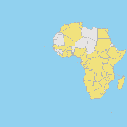
GIRAF members countries of origin
| Service health Now: |
|---|
- Interface
- Web Service, OGC Web Map Service 1.3.0
- Keywords
- GIRAF, BGR
- Fees
- none
- Access constraints
- Topographical data are based on ESRI world dataset 2006: World Countries for ArcGIS 9.2. These data have been updated by BGR 2011 and 2013.
- Supported languages
- No INSPIRE Extended Capabilities (including service language support) given. See INSPIRE Technical Guidance - View Services for more information.
- Data provider
-
Federal Institute for Geosciences and Natural Resources (unverified)
Contact information:
H.G. Troppenhagen
Federal Institute for Geosciences and Natural Resources
postal:
Stilleweg 2, 30655 Hannover, GermanyEmail:
Phone: +49-0511-6433323
- Service metadata
- No INSPIRE Extended Capabilities (including service metadata) given. See INSPIRE Technical Guidance - View Services for more information.
Ads by Google
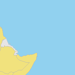
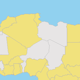
Based on a simple display of the African continent and its political boundaries the GIRAF members origin countries are shown in a highlighted color. These information is created daily based on the members list.
Available map layers (2)
GIRAF members countries of origin (TZ_Karte)
Based on a simple display of the African continent and its political boundaries the GIRAF members origin countries are shown in a highlighted color. These information is created daily based on the members list.
GIRAF members countries of origin (Welt)
Based on a simple display of the African continent and its political boundaries the GIRAF members origin countries are shown in a highlighted color. These information is created daily based on the members list.
There are currently no notifications for the service, click the feed icon to subscribe.