[unknown data provider] |
|

| Service health Now: |
|---|
- Interface
- Web Service, OGC Web Map Service 1.1.1
- Keywords
- Fees
- none
- Access constraints
- none
- Data provider
-
unknown (unverified)
Contact information:
Ads by Google
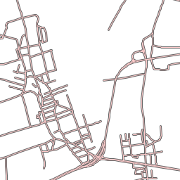
Available map layers (18)
Ulice (adr_osie_ulic)
Drogi tranzytowe (kom_drogi_tranzytowe)
Punkty adresowe (adr_punkty_adresowe)
Budynki (eg_budynki)
Działki (eg_dzialki)
Karty mapy (eg_karty_mapy)
Granica miasta (eg_je)
Dzielnice (eg_dzielnica)
Obręby ewidencyjne (eg_obreb)
Klasoużytki - zintegrowane (eg_klasouzytki)
Sąsiedzi (eg_sasiedzi)
Wody (teren_woda)
Zieleń itp. (teren_zielen)
Warstwice wysokościowe 2014 (wys_poziom_2014)
Numeryczny model terenu 2014 (tiff_NMT_2014)
Ortofotomapa 2011 (0.05m) (tiff_ortofoto_2011)
Ortofotomapa 2012 (0,1m) (tiff_ortofoto_2012)
Fotoplan 2014 (0,1m) (tiff_fotoplan_2014)
There are currently no notifications for the service, click the feed icon to subscribe.