[unknown data provider] |
|
Défrichement DDTM_13
http://mapserveur.application.developpement-durable.gouv.fr/map/mapserv
| Service health Now: |
|---|
- Interface
- Web Service, OGC Web Map Service 1.3.0
- Keywords
- Fees
- unknown
- Access constraints
- unknown
- Supported languages
- No INSPIRE Extended Capabilities (including service language support) given. See INSPIRE Technical Guidance - View Services for more information.
- Data provider
-
unknown (unverified)
Contact information:
- Service metadata
- No INSPIRE Extended Capabilities (including service metadata) given. See INSPIRE Technical Guidance - View Services for more information.
Ads by Google
Serveur WMS pour la carte Défrichement DDTM_13
Available map layers (7)
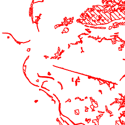
Défrichement DDTM_13 (Défrichement)
Serveur WMS pour la carte Défrichement DDTM_13
FORET DEFRICHEMENT (c_L_FORET_REGL_DEFRICH_ZINF_S_013)
Communes (Etiquettes) (c_COMMUNE_Etiquettes)
COMMUNE par NUM (Valeurs) (c_COMMUNE_Valeurs_NUM)
Limites départementales (Etiquettes) (c_DEPARTEMENT_Etiquettes)
Limites départementales (c_DEPARTEMENT)
La Mer Méditerranée et l'Etang de Berre (c_GeoFLA_2006_MER_L93)
There are currently no notifications for the service, click the feed icon to subscribe.