[unknown data provider] |
|
Voirie_locale_cartelie DDT_19
http://mapserveur.application.developpement-durable.gouv.fr/map/mapserv

| Service health Now: |
|---|
- Interface
- Web Service, OGC Web Map Service 1.3.0
- Keywords
- Fees
- unknown
- Access constraints
- unknown
- Supported languages
- No INSPIRE Extended Capabilities (including service language support) given. See INSPIRE Technical Guidance - View Services for more information.
- Data provider
-
unknown (unverified)
Contact information:
- Service metadata
- No INSPIRE Extended Capabilities (including service metadata) given. See INSPIRE Technical Guidance - View Services for more information.
Ads by Google
Serveur WMS pour la carte Voirie_locale_cartelie DDT_19
Available map layers (4)
Voirie_locale_cartelie DDT_19 (Voirie_locale_cartelie)
Serveur WMS pour la carte Voirie_locale_cartelie DDT_19
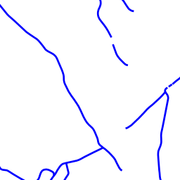
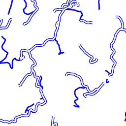
Voirie locale (c_L_VOIRIE_LOCALE_BDT_L_019_Valeurs_TYPE_VOIE)
Périmètres des agences de la DDT19 (c_Agences_perim_corresp_terr_BDC)
Limites communales (c_N_COMMUNE_BDT_019)
There are currently no notifications for the service, click the feed icon to subscribe.