metaspatial |
|
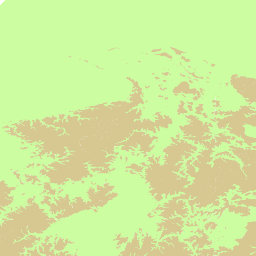
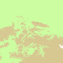
Germany overview provided by metaspatial.net powered by MapServer 6.2

| Service health Now: |
|---|
- Interface
- Web Service, OGC Web Map Service 1.3.0
- Keywords
- metaspatial, ogc wms, wms, germany, overview map, topography, railroads, roads, streets, cities, postal codes, postleitzahlen, plz, watercourses, settlements, free data, free geodata, freie geodaten, as-is
- Fees
- none
- Access constraints
- none
- Supported languages
- No INSPIRE Extended Capabilities (including service language support) given. See INSPIRE Technical Guidance - View Services for more information.
- Data provider
-
metaspatial (unverified)
Contact information:
Arnulf Christl
metaspatial
postal:
Heerstr. 162, 53111 Bonn, GermanyEmail:
Phone: +491722958004
- Service metadata
- No INSPIRE Extended Capabilities (including service metadata) given. See INSPIRE Technical Guidance - View Services for more information.
Ads by Google
This service provides topographic, infrastructure and ordnance data for Germany. The data has been collated form different sources including the CIA factbook and postal codes Germany available at http://arnulf.us/PLZ This service and contained data are intended for demonstration purposes and can be changed or decommissioned at any time and without prior notice. Please use as is. Nobody will take any responsibility for what you do. Have fun. For further information or professional use please visit http://metaspatial.net
Available map layers (13)
Germany overview provided by metaspatial.net powered by MapServer 6.2 (germany)
This service provides topographic, infrastructure and ordnance data for Germany. The data has been collated form different sources including the CIA factbook and postal codes Germany available at http://arnulf.us/PLZ This service and contained data are intended for demonstration purposes and can be changed or decommissioned at any time and without prior notice. Please use as is. Nobody will take any responsibility for what you do. Have fun. For further information or professional use please visit http://metaspatial.net
Höhenklasse (Hoehenklasse)
Staatsgrenze (Staatsgrenze)
Bundeslaender (Bundeslaender)
Staedte (Staedte)
Postleitzahlbereiche (Postleitzahlbereiche)
Flüsse (Fluesse)
Bahnlinien (Bahnlinien)
Strassen (Strassen)
Staedtepunkte (Staedtepunkte)
Postleitzahlen (Postleitzahlen)
Staedtenamen (Staedtenamen)
Bundeslaendernamen (Bundeslaendernamen)
There are currently no notifications for the service, click the feed icon to subscribe.