Agriculture and Agri-Food Canada |
|
AAFC Watershed Project - 2013
https://www5.agr.gc.ca/atlas/services/mapservices/aafc_watershed_2013/MapServer/WmsServer
| Service health Now: |
|---|
- Interface
- Web Service, OGC Web Map Service 1.3.0
- Keywords
- Watersheds,Hydrology,Water,Drainage,Inland Waters,Western Provinces,lang-en
- Fees
- unknown
- Access constraints
- © Government of Canada (2022). Data are subject to the Government of Canada Open Data Licence Agreement: https://open.canada.ca/en/open-government-licence-canada. The terms of this Agreement govern your use and reproduction of the data instead of the copyright reproduction statements found in Important Notices on the Agriculture and Agri-Food Canada website.
- Supported languages
- No INSPIRE Extended Capabilities (including service language support) given. See INSPIRE Technical Guidance - View Services for more information.
- Data provider
-
Agriculture and Agri-Food Canada (unverified)
Contact information:
Agri-Geomatics
Agriculture and Agri-Food Canada
Canada
Email:
- Service metadata
- No INSPIRE Extended Capabilities (including service metadata) given. See INSPIRE Technical Guidance - View Services for more information.
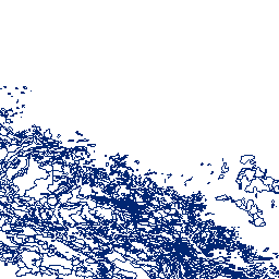
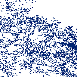
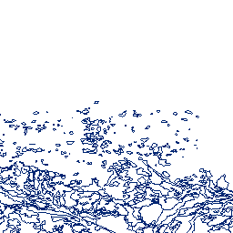
The Agriculture and Agri-Food Canada's (AAFC) Watersheds Project level series supplies a number of watershed and watershed related datasets for the Prairie Provinces. The levels are greater or smaller assemblages of hydrometric areas, or the components defining them. The Project is organized by the hydrometric gauging station which are sourced from Environment Canada, the United States and Canadian provinces. Additional stations were generated to address structural issues, like river confluences or lake inlets. Collectively, they are referred to as the gauging stations, or simply, the stations. The drainage area that each station monitors, between itself and one or more of its upstream neighbours, is called an 'incremental gross drainage area'. The incremental gross drainage areas are collected into larger or smaller groupings based on size or defined interest to generate the various 'levels' of the series. For more information, visit: https://open.canada.ca/data/en/dataset/c20d97e7-60d8-4df8-8611-4d499a796493
Available map layers (15)
Areas of Non-Contributing Drainage within Total Gross Drainage Areas of the AAFC Watersheds Project - 2013 (0)
adb2e613-f193-42e2-987e-2cc9d90d2b7a
Total Effective Drainage Areas of the AAFC Watersheds Project - 2013 (1)
b5f10efc-e91d-4ff0-91c4-6868c04a78fc
Total Gross Drainage Areas of the AAFC Watersheds Project - 2013 (2)
67c8352d-d362-43dc-9255-21e2b0cf466c
Major Drainage Systems of the AAFC Watersheds Project - 2013 (3)
63a40754-28a0-4fdc-8e6e-c56854e16dec
Major Basins of the AAFC Watersheds Project - 2013 (4)
27c70cf8-2ad2-4c69-a529-90f91561b741
PFRA Sub-basins of the AAFC Watersheds Project - 2013 (5)
4f3c7d6d-e018-4a69-a6cf-a4c327572b24
Sub-basins of the AAFC Watersheds Project - 2013 (6)
9d44201c-8a12-41b0-b677-ac42955d5fc9
Sub-sub-basins of the AAFC Watersheds Project - 2013 (7)
0e62c919-4933-40d4-8e77-8057f343e8af
Effective Drainage Area of the AAFC Watersheds Project - 2013 (8)
aeb7959a-9683-421a-be35-fb7c6100d0dc
Non-Contributing Portions of the Incremental Gross Drainage Areas of the AAFC Watersheds - 2013 (9)
a5cbed50-4a18-4658-b312-af13192bbaaf
Incremental Effective Drainage Areas of the AAFC Watersheds Project - 2013 (10)
b8d8003f-f252-4c93-a5ba-883137d5dcaa
Incremental Gross Drainage Areas of the AAFC Watersheds Project - 2013 (11)
7220bfbb-8d36-441d-97a2-5155cf9ab505
Gross and Effective Drainage Area Boundaries of the AAFC Watersheds Project- 2013 (12)
38d86b01-05c5-4763-aea6-4f3c62bac2a9
Hydrometric Gauging Station Network of the AAFC Watersheds Project - 2013 (13)
c5e9e5c4-aa04-461e-9751-f8b74691f481
Hydrometric Gauging Stations of the AAFC Watersheds Project - 2013 (14)
8bb7cd65-52e9-4a6c-90e7-63866da46ff2