Landgate |
|
SLIP - Landgate Public Imagery Service

| Service health Now: |
|---|
- Interface
- Web Service, OGC Web Map Service 1.1.1
- Keywords
- SLIP, Imagery, Streetsmart, Aerial, Photography, Satellite, Maps
- Fees
- none
- Access constraints
- none
- Data provider
-
Landgate (unverified)
Contact information:
SlipEnabler
Landgate
Email:
Phone: 92737832
Ads by Google
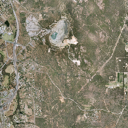
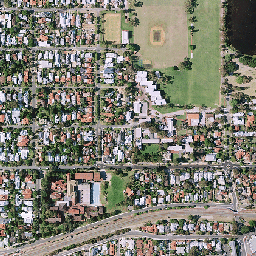
Shared Land Information Platform - Landgate Public Imagery Service is a free data service which provides imagery datasets using OGC compliant WMS service. The service is comprised of 2006 Aerial Photography and Streetsmart of Perth Metro. For a more comprehensive collection of imagery please subscribe for our SLIP Chargeable Imagery service.
Available map layers (10)
Metro 2006 (METRO2006)
Metro Central 2006 Mosaic (LGATE-I1417)
Metro North 2006 Mosaic (LGATE-I1422)
Metro South 2006 Mosaic (LGATE-I1432)
Mosaic Streetsmart Map Bases (STREETSMART)
Metro Central 2006 Map (LGATE-I2156)
Metro North 2006 Map (LGATE-I2163)
Metro South 2006 Map (LGATE-I2173)
Base Maps (BASEMAPS)
TOPO-250K_Raster_2005 (GA-001)
There are currently no notifications for the service, click the feed icon to subscribe.