[unknown data provider] |
|
DNR_DnrSearch_Public
http://gis.in.gov/arcgis/services/DNR/DnrSearch_Public/MapServer/WMSServer
| Service health Now: |
|---|
- Interface
- Web Service, OGC Web Map Service 1.3.0
- Keywords
- Fees
- unknown
- Access constraints
- unknown
- Supported languages
- No INSPIRE Extended Capabilities (including service language support) given. See INSPIRE Technical Guidance - View Services for more information.
- Data provider
-
unknown (unverified)
Contact information:
- Service metadata
- No INSPIRE Extended Capabilities (including service metadata) given. See INSPIRE Technical Guidance - View Services for more information.
Ads by Google
WMS
Available map layers (12)
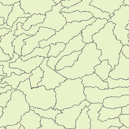
Watershed_HUC10_Watershed (0)
Watershed_HUC10_Watershed
Watershed_HUC08_SubBasin (1)
Watershed_HUC08_SubBasin
Watershed_HUC06_Basin (2)
Watershed_HUC06_Basin
Radio Towers (3)
Radio Towers
DNR Offices (4)
DNR Offices
DNR Buildings (5)
DNR Buildings
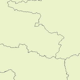
CoalMinePermitCounties (6)
CoalMinePermitCounties
DNR Managed Properties, public access (7)
DNR Managed Properties, public access
USGS 24K Quadrangles (8)
USGS 24K Quadrangles
Civil Townships (9)
Civil Townships
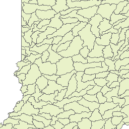
Land Survey Sections (10)
Land Survey Sections
Counties (11)
Counties
There are currently no notifications for the service, click the feed icon to subscribe.