Norwegian Polar Institute |
|
| Service health Now: |
|---|
- Interface
- Web Service, OGC Web Map Service 1.3.0
- Keywords
- Cryosphere
- Fees
- unknown
- Access constraints
- unknown
- Supported languages
- No INSPIRE Extended Capabilities (including service language support) given. See INSPIRE Technical Guidance - View Services for more information.
- Data provider
-
Norwegian Polar Institute (unverified)
Contact information:
Miljødataseksjonen
Norwegian Polar Institute
Framsenteret, 9296 Tromsø, Norway
Email:
- Service metadata
- No INSPIRE Extended Capabilities (including service metadata) given. See INSPIRE Technical Guidance - View Services for more information.
Ads by Google
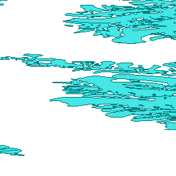
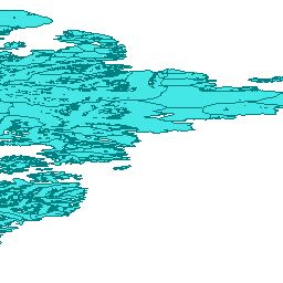
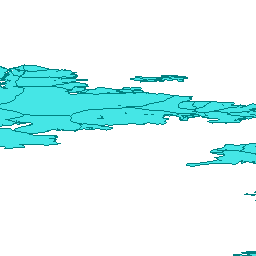
The digital glacier database for Svalbard contains glacier outlines for the years 1936, 1966-71, 1990, and 2001-2010. For most glaciers, outlines are available from more than one of these years. A complete coverage of Svalbard is available for the 2001-2010 dataset. Glacier outlines were created using cartographic data from the original Norwegian Polar Institute topographic map series of Svalbard as basis by delineating individual glaciers and ice streams, assigning unique identification codes relating to the hydrological watersheds, digitizing center-lines, and providing a number of attributes for each glacier mask. The 2001-2010 glacier outlines are derived from orthorectified satellite images acquired from the SPOT-5 and ASTER satellite sensors. Documentation is available at http://public.data.npolar.no/cryoclim/GLIMS_Svalbard.pdf and the 2001-2010 dataset can be downloaded from http://public.data.npolar.no/cryoclim/CryoClim_GAO_SJ_2000-2012.zip
Available map layers (3)
glaciers1936_1972 (0)
glaciers1936_1972
glaciers1990 (1)
glaciers1990
glaciers2007_08 (2)
glaciers2007_08
There are currently no notifications for the service, click the feed icon to subscribe.