EEA |
|
WFD surface water
http://discomap.eea.europa.eu/arcgis/services/Water/WFDSurfacewater_Dyna_WM/MapServer/WmsServer
| Service health Now: |
|---|
- Interface
- Web Service, OGC Web Map Service 1.3.0
- Keywords
- ["water","rivers","lakes","transitional","coastal","chemical","ecological","heavily","modified","river basin district","rbd","WISE"]
- Fees
- Free
- Access constraints
- None
- Supported languages
- No INSPIRE Extended Capabilities (including service language support) given. See INSPIRE Technical Guidance - View Services for more information.
- Data provider
-
EEA (unverified)
Contact information:
Jan Bliki, Sebastien Petit
EEA
Business:
Kongensnytorf 6, 1050 Copenhagen, DenmarkEmail:
Phone: +453337100
- Service metadata
- No INSPIRE Extended Capabilities (including service metadata) given. See INSPIRE Technical Guidance - View Services for more information.
Ads by Google
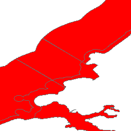
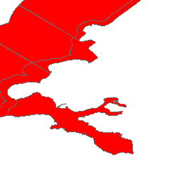
This map enables the user to view, select and display information on the ecological and chemical status of natural surface water bodies as reported under the Article 13 of the Water Framework Directive (WFD). The data can be viewed as pie charts, showing the statistics of ecological status aggregated at the Member State´s level or alternatively at River Basin District level. Furthermore the ecological status can be viewed in detail at water body level. Data are derived from the EU27 WFD database. The user is able to specify the geographical area and water bodies in which he is interested by making selections from the map and from lists. The results of the query can be viewed on-line, or printed. Data source: http://www.eea.europa.eu/data-and-maps/data/wise_wfd
Available map layers (33)
Coastal Water (2)
Transitional Water (3)
Lake (4)
River (5)
Coastal water by area (7)
Transitional water by area (8)
Lake by area (9)
River by length (10)
All water bodies by count (11)
Coastal water by area (13)
Transitional water by area (14)
Lake by area (15)
River by length (16)
All water bodies by count (17)
Coastal Water (20)
Transitional Water (21)
Lake (22)
River (23)
Coastal water by area (25)
Transitional water by area (26)
Lake by area (27)
River by length (28)
All water bodies by count (29)
Coastal water by area (31)
Transitional water by area (32)
Lake by area (33)
River by length (34)
All water bodies by count (35)
Percentage modified or artificial water bodies by RBD (37)
Surface water station category (39)
Surface water station category (40)
No stations (42)
Number of stations per 100 km2 (43)
There are currently no notifications for the service, click the feed icon to subscribe.