Geo-System |
|
Plany miejscowe
| Service health Now: |
|---|
- Interface
- Web Service, OGC Web Map Service 1.3.0
- Keywords
- wms, view service, iGeoPlan, mpzp, studium, plany, zagospodarowanie przestrzenne, planowanie, plan miejscowy, zasięgi
- Fees
- none
- Access constraints
- none
- Supported languages
- No INSPIRE Extended Capabilities (including service language support) given. See INSPIRE Technical Guidance - View Services for more information.
- Data provider
-
Geo-System (unverified)
Contact information:
Geo-System
postal:
Kubickiego 9/5, 02-954 Warszawa, PolandEmail:
Phone: +48228473580
- Service metadata
- No INSPIRE Extended Capabilities (including service metadata) given. See INSPIRE Technical Guidance - View Services for more information.
Zagospodarowanie przestrzenne
Available map layers (26)
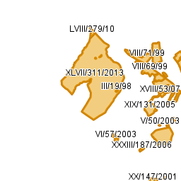
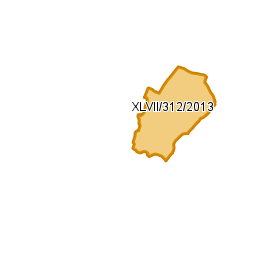
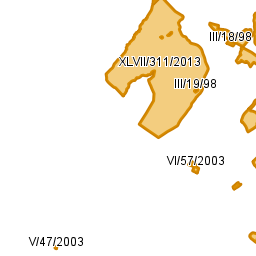
Plany miejscowe (mpzp)
Zagospodarowanie przestrzenne
Granice Planów (gra)
gra
10 (lay10)
13 (lay13)
12 (lay12)
Linie zabudowy (lzb)
lzb
22 (lay22)
23 (lay23)
Obiekty punktowe (pkt)
pkt
31 (lay31)
34 (lay34)
Obiekty liniowe (lin)
lin
44 (lay44)
43 (lay43)
42 (lay42)
41 (lay41)
Obiekty powierzchniowe (pow)
pow
54 (lay54)
51 (lay51)
52 (lay52)
53 (lay53)
Strefy (str)
str
64 (lay64)
61 (lay61)
62 (lay62)
63 (lay63)