EEA |
|
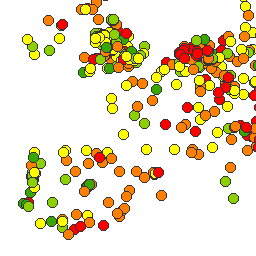
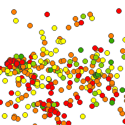
Percentage of the city that would be flooded in case rivers rise one metre
| Service health Now: |
|---|
- Interface
- Web Service, OGC Web Map Service 1.3.0
- Keywords
- Flooded cities
- Fees
- unknown
- Access constraints
- unknown
- Supported languages
- No INSPIRE Extended Capabilities (including service language support) given. See INSPIRE Technical Guidance - View Services for more information.
- Data provider
-
EEA (unverified)
Contact information:
EEA
- Service metadata
- No INSPIRE Extended Capabilities (including service metadata) given. See INSPIRE Technical Guidance - View Services for more information.
Ads by Google
Percentage of the city that would be flooded in case rivers rise one metre. The potential flooded area is based on a 'volume model'. This model is based on water level and subsequent difference between modelled water level and the digital elevation model. The city is defined by its morphological form (Urban Morphological Zone) inside the core city boundaries derived Urban Audit (Eurostat, 2012).
Available map layers (1)
Percentage of the city that would be flooded in case rivers rise one metre (0)
Percentage of the city that would be flooded in case rivers rise one metre. The potential flooded area is based on a 'volume model'. This model is based on water level and subsequent difference between modelled water level and the digital elevation model. The city is defined by its morphological form (Urban Morphological Zone) inside the core city boundaries derived Urban Audit (Eurostat, 2012).
There are currently no notifications for the service, click the feed icon to subscribe.