[unknown data provider] |
|
Web Map Service OBM_Full_I
http://www.geographynetwork.ca:80/wmsconnector/com.esri.wms.Esrimap/OBM_Full_I

| Service health Now: |
|---|
- Interface
- Web Service, OGC Web Map Service 1.1.1
- Keywords
- ArcIMS
- Fees
- none
- Access constraints
- none
- Data provider
-
unknown (unverified)
Contact information:
postal:
Ads by Google
ArcIMS 9.1.0OBM_Full_I Web Map Service
Available map layers (46)
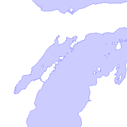
ArcCanada Water (40)
Land Ownership (19)
Wooded Areas (0)
Wetlands (1)
NGO Nature Reserves (9)
Provincial Parks (6)
National Wildlife Areas (10)
National Parks (11)
Conservation Areas (23)
Conservation Reserve Regulated (21)
Municipal Parks (13)
Water Polygons (South Central) (2)
Water Polygons (Northwest) (3)
Water Polygons (Northeast) (4)
Lots (18)
Concessions (24)
Conservation Authority Areas (22)
Tanks (5)
Pits and Quarries (8)
Mines (17)
Building Footprints (25)
Airport Runways (26)
Miscellaneous Lines (36)
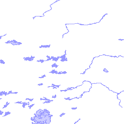
Water Segments (South Central) (28)
Water Segments (Northwest) (29)
Water Segments (Northeast) (30)
Water Structure (27)
Drainage Lines (37)
Utility Lines (31)
Transportation Lines (32)
Roads (34)
Trails (33)
Railroads (35)
Contour Lines (38)
Utility Points (39)
Towers (41)
Spot Height (42)
Building Points (46)
Lower Tier Municipality Names (7)
Upper Tier Municipality Names (12)
ArcCanada Named Places (14)
Contour Line Labels (50)
ArcCanada Rivers (43)
ArcCanada Major Roads (44)
ArcCanada Highways (45)
Upper Tier Municipalities (47)
There are currently no notifications for the service, click the feed icon to subscribe.