Land Management and Natural Hazards Un… |
|
INSPIRE View Service for the Catchment Characterization and Modeling (CCM) River and Catchment Database, version 2.1 (CCM2)
http://ags-sdi-public.jrc.ec.europa.eu/arcgis/services/CCM/MapServer/WMSServer

| Service health Now: |
|---|
- Interface
- Web Service, OGC Web Map Service 1.3.0
- Keywords
- humanGeographicViewer, infoMapAccessService, Hydrography, CCM
- Fees
- Data are provided free of charge for non-commercial use
- Access constraints
- Registration required as a user of the data and acceptance of the conditions of use. More info on http://ccm.jrc.ec.europa.eu
- Supported languages
- eng
- Data provider
-
Land Management and Natural Hazards Unit, Institute for Environment & Sustainability, Joint Research Centre, European Commission (unverified)
Contact information:
Juergen Vogt
Land Management and Natural Hazards Unit, Institute for Environment & Sustainability, Joint Research Centre, European Commission
Email:
- Service metadata
Ads by Google
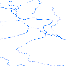
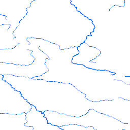
INSPIRE View Service for the Catchment Characterization and Modeling (CCM) River and Catchment Database, version 2.1 (CCM2). This is a testing instance of View service, that operates on data from Catchment Database. The CCM2 database covers the entire European continent, including the Atlantic islands, Iceland and Turkey. It includes a hierarchical set of river segments and catchments based on the Strahler order, a lake layer and structured hydrological feature codes based on the Pfafstetter system. View service is able to be invoked by the remote View client using service endpoint defined in online resource element and thereafter provides (view) data from database.
Available map layers (4)
Main Rivers (0)
The Geodatabase Main Rivers layer
Lakes (1)
The Geodatabase lakes layer
River Basins (2)
The Geodatabase River Basins layer
Coast (3)
The geodatabase Coast layer
There are currently no notifications for the service, click the feed icon to subscribe.