National Institute of Advanced Industr… |
|
GEO Grid, AIST. WMS Service

| Service health Now: |
|---|
- Interface
- Web Service, OGC Web Map Service 1.3.0
- Keywords
- AIST, GEO Grid, BaseMaps, WMS, OGC
- Fees
- none
- Access constraints
- Server is load limited
- Supported languages
- No INSPIRE Extended Capabilities (including service language support) given. See INSPIRE Technical Guidance - View Services for more information.
- Data provider
-
National Institute of Advanced Industrial Science and Technology (AIST) (unverified)
Contact information:
GEO Grid Project
National Institute of Advanced Industrial Science and Technology (AIST)
Email:
- Service metadata
- No INSPIRE Extended Capabilities (including service metadata) given. See INSPIRE Technical Guidance - View Services for more information.
Ads by Google
Available map layers (13)
GEO Grid, AIST. WMS Service (Geogrid)
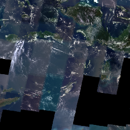
Landsat Global Imagery Service (landsat)
Global Mosaic of Landsat7 scenes. Real Color image(Uses the RGB bands). The original Landsat images are provided by NASA/JPL. Courtesy NASA/JPL-Caltech.
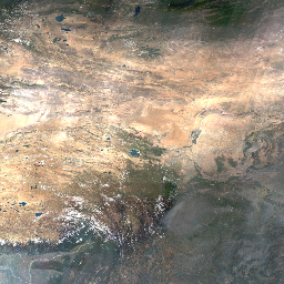
Blue Marble Global Imagery Service(Aug. 2004) (bmng200408)
WMS Global Mosaic, Blue Marble Aug.2004 The original images are provided by NASA/JPL. Courtesy NASA/JPL-Caltech.
ASTER GDEM Shaded Relief Map (GDEM)
Land Cover Map MOD12 (mod12)
Land Cover Map UMD (umd)
Land Cover Map GLC2000 (glc2000)
Land Cover Map GLCC (glcc)
GSHHS (gshhs)
The WMS Service is used GSHHS version 1.3. GSHHS - A Global Self-consistent, Hierarchical, High-resolution Shoreline Database. GSHHS is developed and maintained by Paul Wessel(Hawaii Univ.) and Walter H. F. Smith(NOAA). GSHHS is distributed under the Gnu Public License 2.0.
Lands (lands)
Islands (islands)
Lakes (lakes)
Ponds (ponds)
There are currently no notifications for the service, click the feed icon to subscribe.