terrestris GmbH und Co. KG |
|
Natural_Earth

| Service health Now: |
|---|
- Interface
- Web Service, OGC Web Map Service 1.3.0
- Keywords
- Fees
- none
- Access constraints
- © 2012. Natural Earth. All rights reserved. http://www.naturalearthdata.com/
- Supported languages
- No INSPIRE Extended Capabilities (including service language support) given. See INSPIRE Technical Guidance - View Services for more information.
- Data provider
-
terrestris GmbH und Co. KG (unverified)
Contact information:
Johannes Weskamm
terrestris GmbH und Co. KG
postal:
Pützchens Chaussee 56, 53227 Bonn, GermanyEmail:
Phone: +49(0)228 962 899 51
- Service metadata
- No INSPIRE Extended Capabilities (including service metadata) given. See INSPIRE Technical Guidance - View Services for more information.
Ads by Google
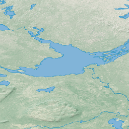
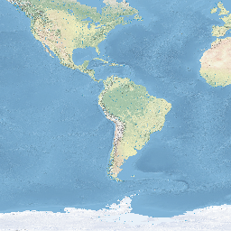
Map of the World, showing boundaries, populated places, rivers, lakes, urban areas and elevation points. Data used from Natural Earth (http://www.naturalearthdata.com/)
Available map layers (15)
Natural_Earth (Natural Earth)
Map of the World, showing boundaries, populated places, rivers, lakes, urban areas and elevation points. Data used from Natural Earth (http://www.naturalearthdata.com/)
Shaded Relief (Shaded_Relief)
Level_1_Admin_Boundaries (Level_1_Admin_Boundaries)
Countries (Countries)
Glaciated_Areas (Glaciated_Areas)
Antarctic_Ice_Shelve (Antarctic_Ice_Shelve)
Marine_Geography (Marine_Geography)
Oceans (Oceans)
Lakes (Lakes)
Centerlines_Rivers_Lakes (Centerlines_Rivers_Lakes)
Roads (Roads)
Railroads (Railroads)
Populated_Places (Populated_Places)
Urban_Areas (Urban_Areas)
Elevation_Points (Elevation_Points)
There are currently no notifications for the service, click the feed icon to subscribe.