Natural Resources Canada |
|
Grounwater Information Network
http://ngwd-bdnes.cits.nrcan.gc.ca/service/ngwds/en/wms/ngwd-wms/ww_wms
| Service health Now: |
|---|
- Interface
- Web Service, OGC Web Map Service 1.1.1
- Keywords
- wells, groundwater, Canada, hydrogeology, aquifer
- Fees
- none
- Access constraints
- none
- Data provider
-
Natural Resources Canada (unverified)
Contact information:
Éric Boisvert
Natural Resources Canada
postal:
490, rue de la Couronne, G1K 9A9 Québec, CanadaEmail:
Phone: +01-418-654-3705
Ads by Google
This Web Mapping Service is a distributed database of groundwater information distributed is a series of database across Canada. The data is accessed through a mediation system that converts stored in local formats and structures into a standard format called GWML. The service is currently distributing data from British Columbia, Alberta, Manitoba, Ontario, Québec and Nova-Scotia
Available map layers (9)
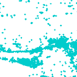
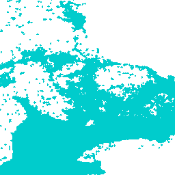
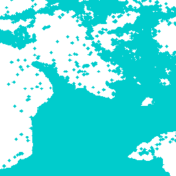
Collection of all available layers (WellCollection)
Ontario Borehole Database (OntarioWaterWell)
Data from the Ontario Ministry of Northern Development and Mines - Ontario Geological Survey
Saskatchewan Waterwell Database (SaskWaterWell)
Data from the Saskatchewan government
Yukon Waterwell Database (YukonWaterWell)
Data from the Yukon government
Quebec Water Well (QuebecWaterWell)
Water well information from the Ministère du Développement durable, Environnement et Parcs, Québec
British Columbia Water Well (BCWaterWell)
Water well information from the British Columbia Ministry of the Environment
Alberta Water Well (AlbertaWaterWell)
Water well information from Alberta Environment
Manitoba Water Well (ManitobaWaterWell)
Water wells information from the Manitoba Water Stewardship
Nova Scotia Water Well (NovaScotiaWaterWell)
Water wells information from Nova Scotia Environment and Labor
There are currently no notifications for the service, click the feed icon to subscribe.