University of Hawaii |
|

| Service health Now: |
|---|
- Interface
- Web Service, OGC Web Map Service 1.3.0
- Keywords
- meteorology, atmosphere, climate, ocean, earth science
- Fees
- none
- Access constraints
- none
- Supported languages
- No INSPIRE Extended Capabilities (including service language support) given. See INSPIRE Technical Guidance - View Services for more information.
- Data provider
-
University of Hawaii (unverified)
Contact information:
Jim Potemra
University of Hawaii
Email:
- Service metadata
- No INSPIRE Extended Capabilities (including service metadata) given. See INSPIRE Technical Guidance - View Services for more information.
Ads by Google
Scientific data from the Pacific Islands Ocean Observing System (PacIOOS) of the School of Ocean and Earth Science and Technology (SOEST) at the University of Hawaii. PacIOOS is one of eleven regional observing programs in the U.S. supporting the Integrated Ocean Observing System (IOOS). The PacIOOS region includes the U.S. Pacific Region (Hawaii, Guam, American Samoa, Commonwealth of the Northern Mariana Islands), the Pacific nations in Free Association with the U.S. (Republic of the Marshall Islands, Federated States of Micronesia, Republic of Palau), and the U.S. Minor Outlying Islands (Howland, Baker, Johnston, Jarvis, Kingman, Palmyra, Midway, Wake). These data are served by Unidata's Thematic Realtime Environmental Distributed Data Services (THREDDS) Data Server (TDS) in a variety of interoperable data services and output formats.
Available map layers (1)
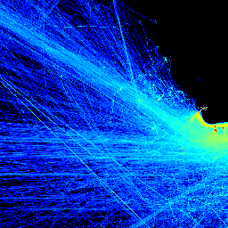
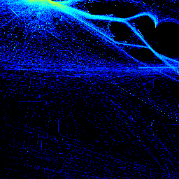
ship frequency (nais)
ship frequency
There are currently no notifications for the service, click the feed icon to subscribe.