Sask. Geospatial Imagery Collaborative… |
|
SGIC Ortho Block Index
https://gis.saskatchewan.ca/arcgis/services/Imagery/SGIC_Ortho_Block_Index/MapServer/WMSServer
| Service health Now: |
|---|
- Interface
- Web Service, OGC Web Map Service 1.3.0
- Keywords
- imagery, SGIC, Block, index, flysask
- Fees
- unknown
- Access constraints
- GOS Standard User License v2.0
- Supported languages
- No INSPIRE Extended Capabilities (including service language support) given. See INSPIRE Technical Guidance - View Services for more information.
- Data provider
-
Sask. Geospatial Imagery Collaborative (SGIC) (unverified)
Contact information:
Sask. Geospatial Imagery Collaborative (SGIC)
webpage:
www.flysask2.ca, Canada - Service metadata
- No INSPIRE Extended Capabilities (including service metadata) given. See INSPIRE Technical Guidance - View Services for more information.
A WMS service of the Block indexes for the orthophotography collected by the SGIC.
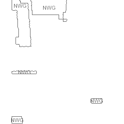
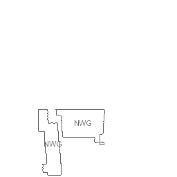
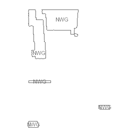
Available map layers (4)
SGIC Aux Block Index (0)
This Block index is a merging of imagery tiles that were delivered from various imagery providers as suplimental imagery.
SGIC Mapcon Block Index (1)
This Block index is a dissolved version of the township tiles delivered from Aeroquest Mapcon Ltd. It merges all polygons that have the same block number into one polygon.
SGIC Sanborn Block Index (2)
This Block index is simply a dissolved version of the Tile index delivered from Sask. Research Council (SRC). Specifically, the "SGIC_RBGN_2012_15_Tile_Index" feature class was dissolved based on the block field in the table. This resulting dataset merges all polygons that had the same block number into one polygon. All other fields were removed in the process.
SGIC Geodesy Block Index (3)
This Block index is a dissolved version of the township tiles delivered from Geodesy Group Inc.. It merges all polygons that have the same block number into one polygon.