British Geological Survey (BGS) |
|
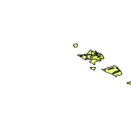
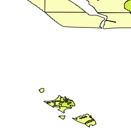
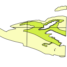
BGS OneGeology Europe geology
| Service health Now: |
|---|
- Interface
- Web Service, OGC Web Map Service 1.3.0
- Keywords
- OneGeology, MD_LANG@ENG, MD_DATE@2019-01-22, Geology, infoMapAccessService
- Fees
- none
- Access constraints
- The data are available for free download on the basis it is only used for your personal, teaching, and research purposes - provided all are non-commercial in nature as described on https://www.bgs.ac.uk/bgs-intellectual-property-rights/using-bgs-copyright-material/. Where commercial use is required, licences are available from the British Geological Survey (BGS). Your use of any information provided by the BGS is at your own risk. BGS gives no warranty, condition or representation as to the quality, accuracy or completeness of the information or its suitability for any use or purpose. All implied conditions relating to the quality or suitability of the information, and all liabilities arising from the supply of the information (including any liability arising in negligence) are excluded to the fullest extent permitted by law.
- Supported languages
- eng
- Data provider
-
British Geological Survey (BGS) (unverified)
Contact information:
Mr Garry Baker
British Geological Survey (BGS)
postal:
Nicker Hill, NG12 5GG Keyworth, United KingdomEmail:
Phone: +44 (0)115 936 3100
- Service metadata
Ads by Google
The 1:50k GeoSure (natural ground stability) data covering the map sheets for Loughborough and Kilmarnock are available in this OGC WMS service for your personal, non-commercial use only and is being served as a contribution to the OneGeology Europe initiative. For information about more of the British Geological Survey's maps and other digital products please visit https://www.bgs.ac.uk/geological-data/datasets/digital-data-product-development/
Available map layers (14)
BGS OneGeology Europe geology (ONEGEOLOGYEUROPE)
The 1:50k GeoSure (natural ground stability) data covering the map sheets for Loughborough and Kilmarnock are available in this OGC WMS service for your personal, non-commercial use only and is being served as a contribution to the OneGeology Europe initiative. For information about more of the British Geological Survey's maps and other digital products please visit https://www.bgs.ac.uk/geological-data/datasets/digital-data-product-development/
GeoSure (GeoSure)
Loughborough (Loughborough)
GBR Loughborough BGS 1:50K soluble rocks (GBR_Loughborough_BGS_50K_SolubleRocks)
GBR Loughborough BGS 1:50K soluble rocks
GBR Loughborough BGS 1:50K shrink swell (GBR_Loughborough_BGS_50K_ShrinkSwell)
GBR Loughborough BGS 1:50K shrink swell
GBR Loughborough BGS 1:50K running sand (GBR_Loughborough_BGS_50K_RunningSand)
GBR Loughborough BGS 1:50K running sand
GBR Loughborough BGS 1:50K landslides (GBR_Loughborough_BGS_50K_Landslides)
GBR Loughborough BGS 1:50K landslides
GBR Loughborough BGS 1:50K Compressible Ground (GBR_Loughborough_BGS_50K_CompressibleGround)
GBR Loughborough BGS 1:50K Compressible Ground
Kilmarnock (Kilmarnock)
GBR Kilmarnock BGS 1:50K soluble rocks (GBR_Kilmarnock_BGS_50K_SolubleRocks)
GBR Kilmarnock BGS 1:50K soluble rocks
GBR Kilmarnock BGS 1:50K shrink swell (GBR_Kilmarnock_BGS_50K_ShrinkSwell)
GBR Kilmarnock BGS 1:50K shrink swell
GBR Kilmarnock BGS 1:50K running sand (GBR_Kilmarnock_BGS_50K_RunningSand)
GBR Kilmarnock BGS 1:50K running sand
GBR Kilmarnock BGS 1:50K landslides (GBR_Kilmarnock_BGS_50K_Landslides)
GBR Kilmarnock BGS 1:50K landslides
GBR Kilmarnock BGS 1:50K Compressible Ground (GBR_Kilmarnock_BGS_50K_CompressibleGround)
GBR Kilmarnock BGS 1:50K Compressible Ground
There are currently no notifications for the service, click the feed icon to subscribe.