NERACOOS |
|
| Service health Now: |
|---|
- Interface
- Web Service, OGC Web Map Service 1.3.0
- Keywords
- ocean, oceanography, meteorology, atmosphere, climate, earth science
- Fees
- none
- Access constraints
- none
- Supported languages
- No INSPIRE Extended Capabilities (including service language support) given. See INSPIRE Technical Guidance - View Services for more information.
- Data provider
-
NERACOOS (unverified)
Contact information:
Ru Morrison
NERACOOS
Email:
- Service metadata
- No INSPIRE Extended Capabilities (including service metadata) given. See INSPIRE Technical Guidance - View Services for more information.
Ads by Google
Ocean observation data from the Northeastern Regional Association of Coastal & Ocean Observing Systems (NERACOOS). The NERACOOS region includes the northeast United States and Canadian Maritime provinces, as part of the United States Integrated Ocean Observing System (IOOS). These data are served by Unidata's Thematic Realtime Environmental Distributed Data Services (THREDDS) Data Server (TDS) in a variety of interoperable data services and output formats.
Available map layers (3)
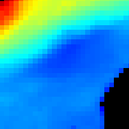
sea_surface_wave_significant_height (hs)
Significant Wave Height
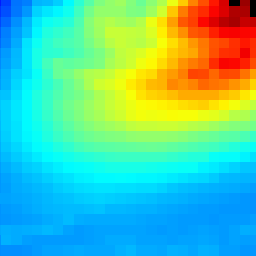
sea_surface_wave_frequency (swp)
sea_surface_wave_frequency
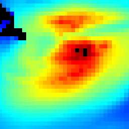
Dominant Wave Direction (dir)
Dominant Wave Direction
There are currently no notifications for the service, click the feed icon to subscribe.