[unknown data provider] |
|
Risques en Morbihan

| Service health Now: |
|---|
- Interface
- Web Service, OGC Web Map Service 1.3.0
- Keywords
- Fees
- unknown
- Access constraints
- unknown
- Supported languages
- No INSPIRE Extended Capabilities (including service language support) given. See INSPIRE Technical Guidance - View Services for more information.
- Data provider
-
unknown (unverified)
Contact information:
- Service metadata
- No INSPIRE Extended Capabilities (including service metadata) given. See INSPIRE Technical Guidance - View Services for more information.
Ads by Google
Cartographie des risques naturels et technologiques en Morbihan - Serveur OGC CARTORISQUE
Available map layers (20)
Risques en Morbihan (D56)
Cartographie des risques naturels et technologiques en Morbihan - Serveur OGC CARTORISQUE
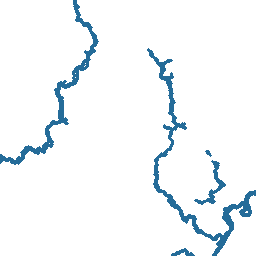
Aléa inondation - Couche de synthèse (ALEA_INONDATION_SYNTHESE)
Atlas inondation - Limite des plus hautes eaux connues (ATLAS_INONDATION_LIMITE_PHEC)
Atlas des inondations - Aléa (ATLAS_INONDATION_ALEA)
Atlas inondation - Lit majeur (ATLAS_INONDATION_LIT_MAJEUR)
Atlas inondation - Limite de zone inondable (ATLAS_INONDATION_LIMITE_ZONE_INONDABLE)
Atlas inondation - Lit mineur (ATLAS_INONDATION_LIT_MINEUR)
Atlas inondation - Ouvrage ayant un rôle hydraulique (ATLAS_INONDATION_OUVRAGE)
Atlas inondation - Digue ou remblais d'infrastructure (ATLAS_INONDATION_DIGUE)
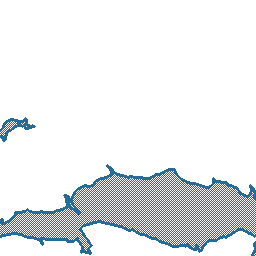
PPR inondation - Synthèse des zonages règlementaires (PPR_INONDATION_SYNTHESE)
PPR inondation - Vilaine aval - Zonage réglementaire (PPR_INONDATION_VILAINE_AVAL_ZONAGE_REGLEMENTAIRE)
PPR inondation - Vallée du Scorff - Zonage réglementaire (PPR_INONDATION_SCORFF_ZONAGE_REGLEMENTAIRE)
PPR inondation - Vallée du Scorff - Aléa (PPR_INONDATION_SCORFF_ALEA)
PPR inondation - Blavet aval - Zonage réglementaire (PPR_INONDATION_BLAVET_AVAL_ZONAGE_REGLEMENTAIRE)
PPR inondation - Blavet aval - Aléa (PPR_INONDATION_BLAVET_AVAL_ALEA)
PPR inondation - Blavet amont - Zonage réglementaire (PPR_INONDATION_BLAVET_AMONT_ZONAGE_REGLEMENTAIRE)
PPR inondation - Blavet amont - Aléa (PPR_INONDATION_BLAVET_AMONT_ALEA)
PPR inondation - Blavet amont - Limite de la zone inondable (PPR_INONDATION_BLAVET_AMONT_LIMITE_ZONE_INONDABLE)
Communes et arrêtés de catastrophe naturelle (© IGN - BD Carto : Licence n°2005CUIPUB0088 - Reproduction interdite) (COMMUNES_CAT_NAT)
Aléa sismique de 2005 (ALEA_SISMIQUE_2005)
There are currently no notifications for the service, click the feed icon to subscribe.